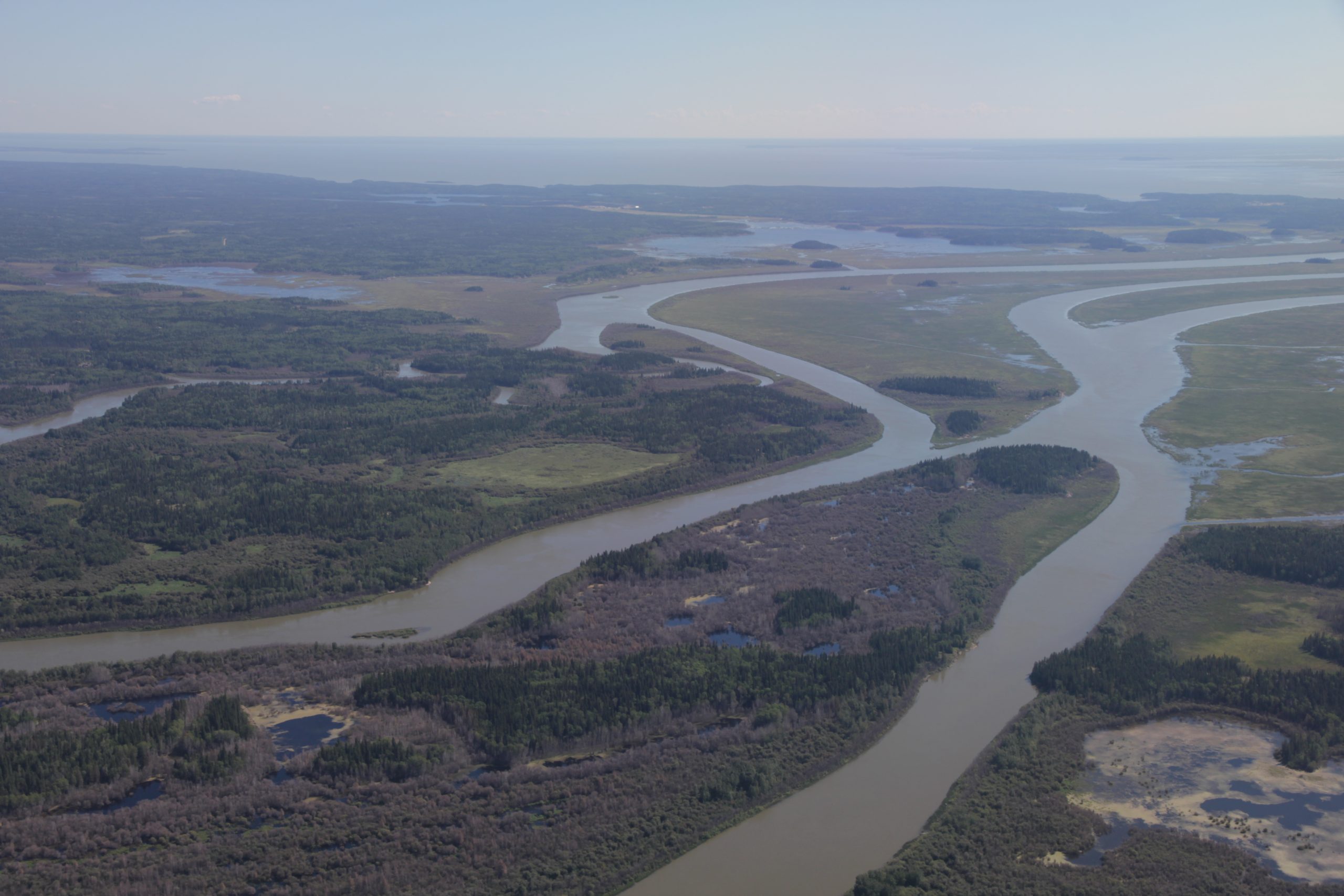
Flight N°7: New wetlands on the menu: Lake Winnipeg
On 26.08 , we flew over the wetlands of the Lake Winnipeg, the 10th largest fresh water lake in the world. The second objective of this flight was to fly over forest fires and analyze the response in our measurements.
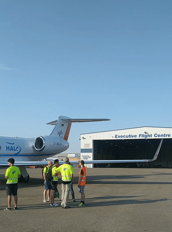
Oberpfaffenhofen, 29.08.2022
Look through HALO’s window during a missed approach. A missed approach consists of performing a vertical profile while descending in altitude as if performing a landing but just before landing, the aircraft climbs back to its initial altitude.
Check the route to our target area: the Lake Winnipeg
… which is added to the flight patterns performed since the start of the campaign! The overall flight patterns are to be found on this page and are always updated.
Follow the launch of a dropsonde with our instrument operator, Flo
During the descent the GPS dropsonde collects data of the surrounding atmosphere that is remotely sent back to the aircraft by radio transmission. The GPS dropsonde contains a GPS receiver, that through analysis of the GPS latitude and longitude points, wind speed and wind direction can be detected. The dropsonde also contains pressure, temperature and humidity sensors that capture vertical profiles of atmospheric thermodynamic data. The descent of the dropsonde is slowed by a small parachute, that also ensures that the device will stay vertically oriented during the descent.