Flight N°11: Revisiting the Hudson Bay Lowlands
This is our second flight over the Hudson Bay Lowlands that took place on September 7th, only two days after our last visit to the area. The region, which fills an area larger than basically all of the larger European countries, is one of the most interesting target areas for studying wetland emissions of methane.
Edmonton, 09.09.2022
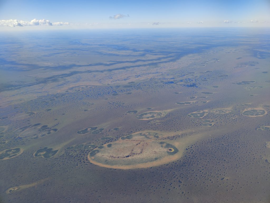
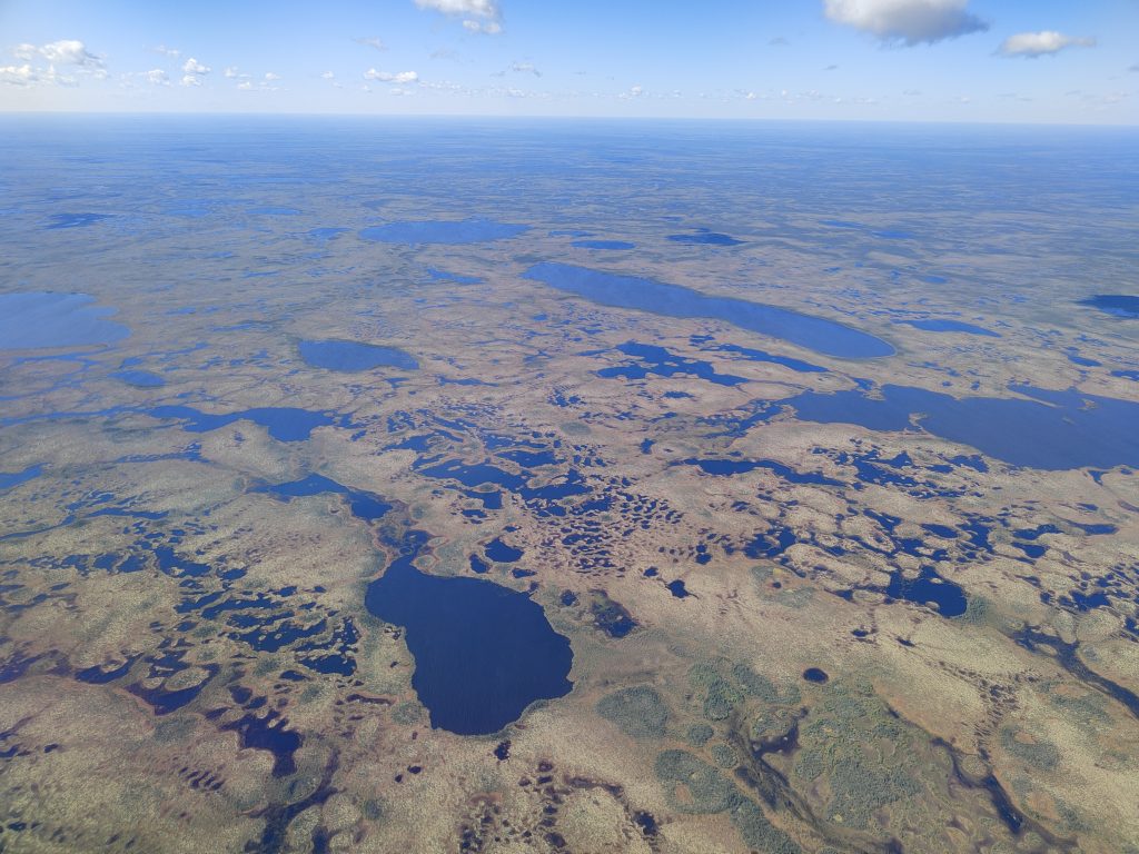
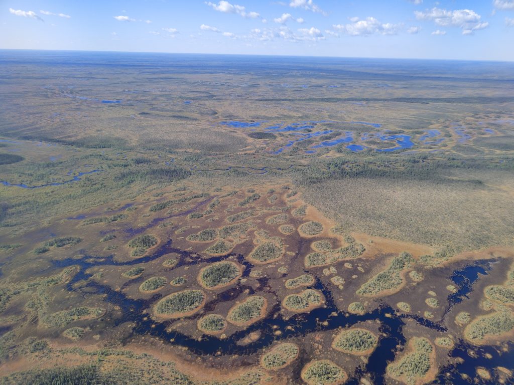
Our strategy on this flight was to measure the accumulation of methane in the air volume that passes over the wetlands by flying along the wind, as well as flying perpendicular to the wind in so-called up-wind and down-wind legs. For the in-situ measurements, we went as low as 500 ft (~150 m) above ground level to sample the clearest methane signals. The flight pattern (missing the way back) is shown on the map below.
Below you can see some footage from the spiraling down and up from our remote-sensing altitude into the planetary boundary layer and of the dives to very low altitude.